Metro–Bridge Urban Field Model (MB-UFM)
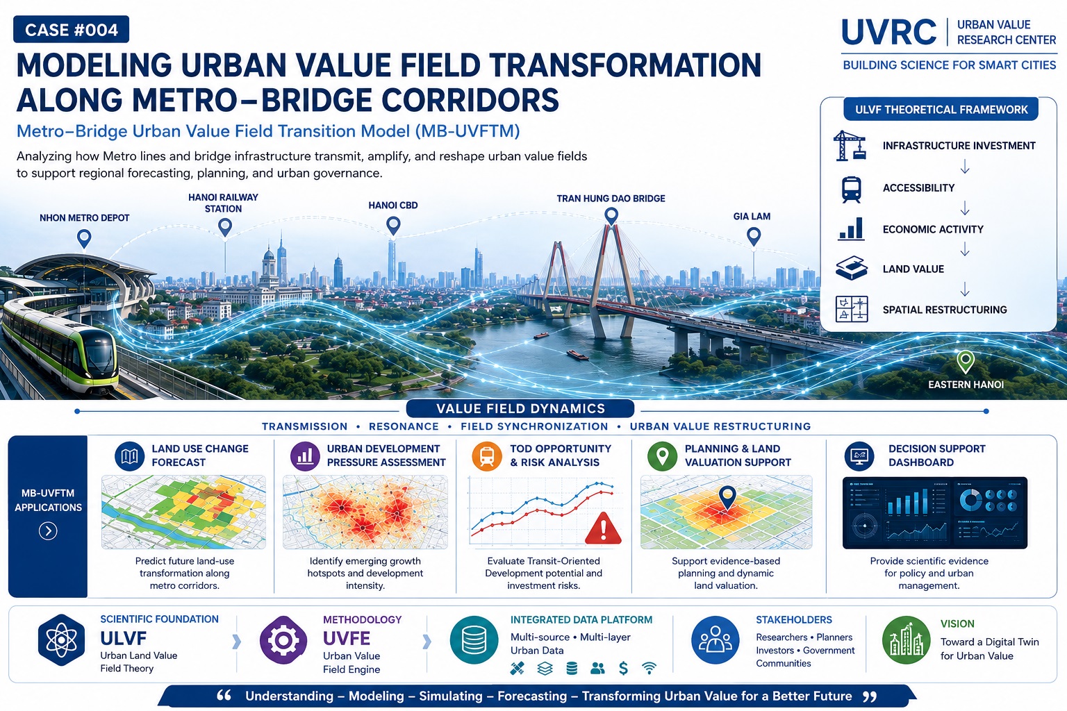
1. From Project-Based Analysis to Regional Urban Field Analysis
In conventional planning approaches, metro lines, river-crossing bridges, and Transit-Oriented Development (TOD) projects are often evaluated as independent infrastructure investments, with emphasis placed on their localized impacts on transportation, land use, or land values. This study expands that perspective by examining the entire Nhon – Hanoi Railway Station – Hanoi Central Area – Tu Lien Bridge – Gia Lam – Northeast Hanoi corridor as a unified urban field system. The object of analysis is no longer an individual project, but rather a regional-scale urban field transformation process in which mobility flows, accessibility, economic activities, and land values interact, propagate, and reinforce one another throughout the development corridor.
2. Urban Value Corridors and Regional Spatial Restructuring
The study identifies the Nhon – Hanoi Railway Station – Hanoi Central Area – Tu Lien Bridge – Gia Lam – Northeast Hanoi axis as an Urban Value Corridor. The combination of metro infrastructure, the metropolitan core, and river-crossing connectivity does more than improve accessibility; it generates a process of value field synchronization that accelerates value transmission, spatial restructuring, and the emergence of new development poles. The MB-UFM framework enables the forecasting of land-use transformation trends, the assessment of urban development pressures, the identification of land speculation risks and TOD saturation, and supports regional planning, land valuation, and urban development governance.